

Contents
Geophysics is a natural science which studies the processes and properties of Earth and its surrounding environment. A geophysical survey is a quantitative analysis that measures subsurface features through different methods that are applied in groundwater, mineral, and infrastructure exploration. Delve into these methods and applications, and the future of geophysical methods in this introductory guide.
What is a geophysical survey?
A geophysical survey uses various methods to collect data about subsurface features, properties, and structures without excavation like drilling or digging. The surveys measure variations in gravity, magnetic fields, and electrical resistivity, or other relevant properties.
A non-invasive method
Geophysics uses measurements and quantitative analysis of the Earth’s interior, surface and atmosphere, through (for example) seismology, geodesy, electromagnetic methods, and others. As such, a geophysical survey is a collection of non-invasive methods that aid in the aforementioned methods and studies.
Due to the higher costs of extraction operations, these non-invasive survey methods have become indispensable in the beginning phases of resource exploration, but also at various points during the process. Furthermore, environmental studies are increasingly utilizing geophysical surveys.
Read also: What is geoscience?
What are geophysical methods used for?
Geophysical methods are primarily used to map geological structures, identify groundwater and mineral resources, and assess various environmental conditions. As opposed to a geological survey, a geophysical survey doesn’t require taking rock samples or excavating any material, although it is common to perform such surveys in already drilled boreholes.
By measuring differences and contrasts in properties like magnetism, density, electrical conductivity, or natural radiation we can observe and analyze the Earth. These methods rely on highly specialized instruments, and complex data processing, meaning both the tools used and the operator’s skill are crucial for a successful operation.
Read also: Everything you need to know about directional drilling
Common geophysical survey methods
Seismic surveys
Seismic surveys use generated waves that propagate into the ground, which then are read and interpreted. They are effective for mapping deep structures, stratigraphy, and faults. It maps these subsurface layers through the following techniques:
- Seismic refraction measures the bending of waves to identify layer velocities and depths.
- Seismic reflection captures echoes of seismic waves to create high-resolution subsurface images, which are widely used in oil and gas exploration.
Electrical Resistivity Tomography (ERT)
Electrical Resistivity Tomography is performed by injecting electrical current into the ground and measuring voltage differences. Since groundwater, clay, and various rock types have distinct resistivities, one can create detailed 2D and 3D subsurface models using this method.
ERT surveys are especially useful for groundwater mapping, contamination assessment, and geotechnical investigations.
Electromagnetic (EM) surveys
Electromagnetic (EM) methods are based on the response generated by the ground rock when exposed to electromagnetic fields. This is especially useful for reading its conductivity.
They can be performed by drones, vehicles, or handheld tools, and are used mostly for additional data that can provide a deeper level of information in mineral exploration and environmental studies.
Magnetic surveys
Accumulation of magnetic minerals can cause detectable localized variations in the earth’s magnetic field, which can be read and interpreted. They can indicate the location of igneous and metamorphic structures, faults, or some types of mineral deposits.
Magnetic surveys are very common for mineral exploration.
Gravity surveys
Density variations underground can cause minuscule variation in the Earth’s gravity. By detecting these local anomalies with a gravity meter, one can identify possible locations of large structures, for example salt domes, geothermal reservoirs, or large ore bodies.
Gravity data often complements magnetic and seismic surveys for interpretation.
Ground-Penetrating Radar (GPR)
A ground-penetrating radar sends high-frequency pulses into the ground. Reflections from subsurface structures and layers can then be detected and read.
GPR is very useful in shallow applications, like archaeology, utility detection, or environmental studies.
Short historical background to geophysical surveys
Although humans made use of Earth’s magnetism and tried to assess what lies beneath the earth based on seismic tremors, the foundation of geophysical surveys as we know them today was established rather recently, towards the end of the 19th and early 20th centuries.
Seismic surveys
Seismology was coined as a term by Robert Mallett, who was a true pioneer of the science and began studying seismic waves using explosives in 1897. With better understanding of the propagation of seismic waves through various materials and better ways to generate and read them, seismic surveys have become indispensable particularly in hydrocarbon exploration.
Magnetic surveying
Magnetic surveying makes use of magnetometers to read anomalies in the magnetic field, which can help in discovering hidden accumulations of magnetic minerals. Carl Friedrich Gauss is credited with inventing the first magnetometer in 1832, but the invention later on of portable magnetometers has increased their use significantly in mineral prospecting.
Electrical methods
Electrical methods of geophysical exploration were introduced as early as 1830, but it wasn’t until 1912 when Conrad Schlumberger used electricity to map subsurface formations. By applying current to the ground and reading the response, one can read certain properties like conductivity and resistivity.
Other methods, such as gravity, electromagnetic, or ground-penetrating radar have all been brought into widespread use from the mid-20th century, by improvements in electronics and computing power.
Digital methods
Today, geophysical surveys use digital sensors, drones, satellite systems, 3D inversion software, and machine-learning tools to further improve the accuracy of the readings, and have truly become a cornerstone of global resource exploration and geotechnical investigation.
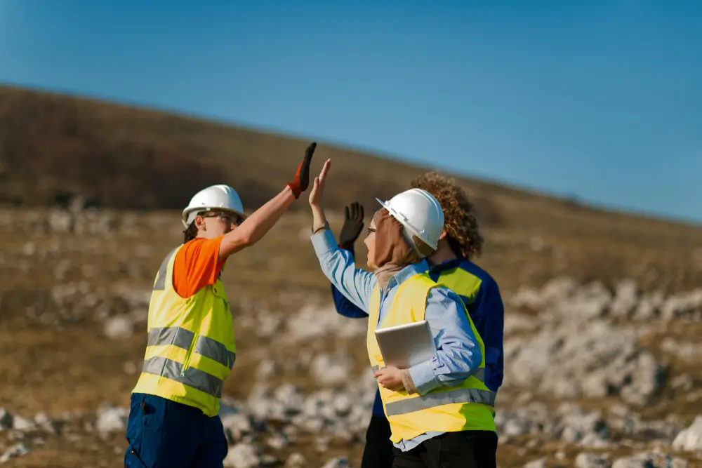
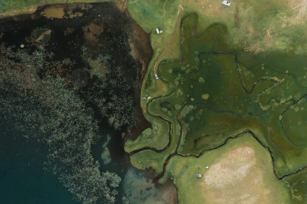
Applications of geophysical surveys: Why conduct them?
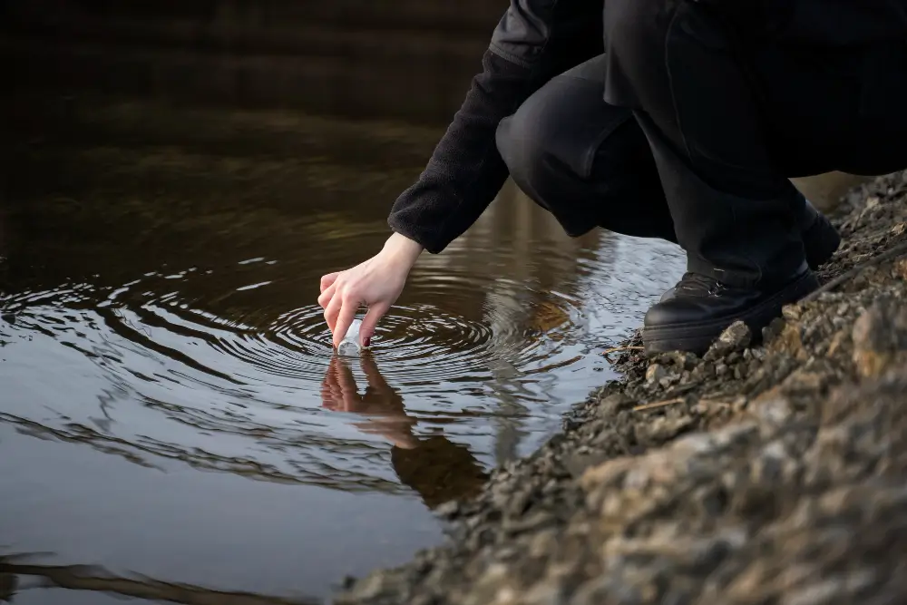
Groundwater exploration
For groundwater exploration, aquifers can be identified through electric, electromagnetic, and seismic methods. Their volume and depth can also be estimated, which is crucial in arid regions or for the purpose of sustainable water management.
Geotechnical and environmental investigations
Geophysical surveys can offer important information regarding soil layering, bedrock depth, sinkholes or contamination, which is needed in construction and infrastructure projects in order to reduce geotechnical risks.
Mineral and energy resource exploration
Magnetic, seismic, and gravity methods are widely used in mineral and hydrocarbon exploration. They can identify mineral bodies, hydrocarbon accumulations and structural traps, and even geothermal reservoirs. Without these methods, one would have to drill «blindly» in the hopes that they would reach something of value.
Archaeology and cultural heritage
Magnetometers have become a staple in archaeology, where they have been used extensively to identify buried metals, but they can be further used (alongside ground-penetrating radars) to find buried structures and foundations without any digging.
Infrastructure and engineering projects
Tunnel routes, road foundations, dam sites, and pipeline corridors often require detailed subsurface models. Safer and more efficient planning can be ensured through the use of geophysical surveying.
Read also: Everything you need to know about ore mining
The future of geophysical methods of surveying
Since geophysics relies on technologically advanced instrumentation and sensors, one can only think towards the future of geophysical surveying with excitement.
Fully automated survey platforms might become a common sight, as drones and robotic ground vehicles are being increasingly used. Real-time inversion and modeling powered by AI could cut interpretation time and provide higher-accuracy models. New sensors and further innovation of existing technologies might make it easier to image deeper structures and with greater clarity.
But whatever changes in technology the future will bring, the ever-increasing need for critical minerals, the further reliance on hydrocarbons, and the need for more and better environmental studies, will ensure that geophysical surveys will still be carried out for a long time to come.
Advanced directional drilling technology in mining
Aziwell is a leading provider of directional drilling solutions and offers service and software products for directional drilling. At the heart of this is our advanced technology, which reduces the environmental footprint through fewer drill pads, operational time, and CO₂ emissions. Our directional drill is precise, does not require special rods or rigs, and has no depth limitations.
Frequently asked questions about geophysical surveys
What type of data do geophysical surveys collect?
Geophysical surveys collect data on mineral, energy, and groundwater resources.
What is the difference between geological surveys and geophysical surveys?
The difference between geological and geophysical surveys is that a geophysical survey doesn’t require taking rock samples or excavating any material, although it is common to perform such surveys in already drilled boreholes.
What is the difference between geotechnical surveys and geophysical surveys?
The difference between geotechnical and geophysical surveys is that a geophysical survey doesn’t require drilling or sampling when providing data on larger-scale operations. Geotechnical surveys provide soil and rock properties for engineering design via drilling.
Who needs a geophysical survey?
Industries who deal with mineral exploration, environmental assessment, archeology, land surveying, and infrastructure development benefit from geophysical surveying. As geophysical surveys collect and map subsurface data, one gets insight into geological, structural, and environmental conditions without the need for drilling or digging.
