

Contents
Today, there’s a global race for critical minerals and an overarching desire to ensure sustainable infrastructure. Geological surveys are a proven tool of huge strategic benefit to both of these objectives. By examining rock, minerals, and tectonic processes, geoscientists today can identify the raw materials needed for everything from EV batteries to national defense technologies.
Geology as a study
Geology is the natural science that studies the origin, composition, structure, and evolution of Earth. This is done by examining rocks, minerals, landforms, and processes that have formed and shaped the planet over time. It makes use of various subjects – such as mineralogy, stratigraphy, sedimentology, and structural geology and tectonics – to form a complete image of how the Earth was made and how it behaves.
Also read: What is geoscience?
What is a geological survey?
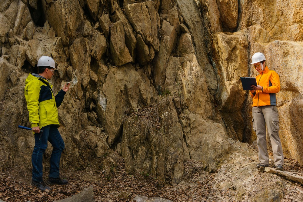
A geological survey is an investigation of the surface and underground geological features and structures. As opposed to a geophysical survey, which carries out these investigations indirectly, a geological survey involves direct observation and sampling. It aims to identify rock types, geological structures, mineral resources, and geological processes.
Geological surveys are the backbone of resource management
The geological history of an area is crucial for estimating how it will behave in the future, and therefore critical for any project that involves building, digging, excavating, or drilling. As such, geological surveys form the backbone of resource exploration, construction planning, environmental assessment, and hazard mitigation.
A short history explaining geological surveying
Although ancient civilizations understood the importance of different rock types for building, mining, and tool making, geology emerged as a formal discipline only in the late 18th and 19th centuries.
The concept of deep geological time
The Scottish geologist James Hutton, often regarded as the father of modern geology, introduced the concept of deep geological time in the late 1700s. This was instrumental in understanding gradual geological processes that can take millions to billions of years, such as erosion, sedimentation, and rock formation.
Geological mapping was later pioneered by William Smith, who recognized that fossils could help correlate rock types and layers. This led to the very first geological map of England in 1815.
Emergence of national geological surveys
Due to an increasing need to locate resources to sustain the Industrial Revolution, national geological surveys began to be established in the 19th century across Europe and North America.
Later, Alfred Wegener’s “The Origin of Continents and Oceans” in 1915 formed the basis of plate tectonics, a branch of geology that truly revolutionized our understanding of continental formation and how the Earth changes over time.
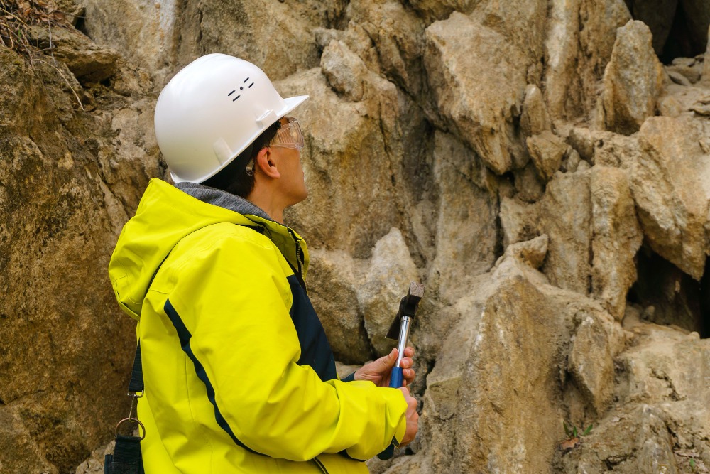
Digital tools merging with traditional fieldwork
Today, geological surveys integrate traditional fieldwork with laboratory analysis, digital mapping tools, GIS systems, and remote sensing data. While technology has enhanced efficiency and precision, field-based observation remains the primary tool of geological investigation, and the geological hammer remains a geologists’ most trusted companion.
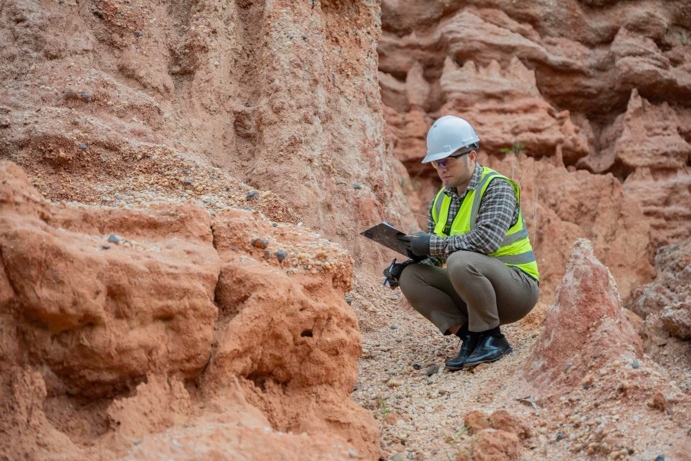
Common methods for geological surveys
Geological mapping
Geological mapping involves the recording of rock types, structures, and surface features across an area. It provides a spatial understanding of lithology, faults, folds, and stratigraphic relationships. These maps are important for resource exploration and infrastructure projects.
Rock and soil sampling
Samples are collected from rock outcrops, trenches, or boreholes. By analyzing them, a geologist can determine rock types, mineral composition, grain size, and geomechanical and chemical properties. Sampling is the only way of confirming interpretations based on reading maps and geophysical investigations.
Drilling and borehole logging
Through drilling, one can reach deeper rock layers without excavating a great amount of material. By analyzing cuttings brought to the surface by the drilling fluids, or core samples recovered with specialized tools, one can generate stratigraphy logs (a graphic of succession of rock layers) and identify areas of interest.
Fractures, faults, and groundwater can also be intercepted and mapped through drilling. It is the main method used in geological exploration of mineral resources (for the purpose of mining) and of hydrocarbon and geothermal reservoirs. It is also extensively used for geotechnical investigations and in infrastructure, especially when the ground conditions are crucial for the safe planning and building of large projects.
Structural analysis
Structural geology focuses on the study of faults, folds, joints, and fractures. To understand earthquake risks, the fluid-flow pathways, and the stability of the terrain, one must perform a structural analysis. It is a method that often complements geophysical and geological investigations, especially in infrastructure work.
Stratigraphic studies
Stratigraphy is the study and examination of layered rock sequences. It is used to determine depositional environments and their geological history. Hydrocarbon exploration is especially dependent on stratigraphy, but the interpretation of sedimentary basins and groundwater exploration also make heavy use of this method.
Why conduct a geological survey?
Securing critical mineral supply chains through resource exploration
In 2026, the search for critical minerals is essential for national security and the green energy transition. While an idea of where certain resources could be located might be obtained through a geophysical survey, a geological investigation is needed to confirm the presence of mineral resources beyond any doubt. Through rock sampling, one can confirm the presence of the ore and map the orebody and identify the mineral-bearing layers.
Environmental and land-use studies
Geological data support environmental impact assessments by identifying sensitive formations, contamination pathways, and long-term landscape evolution.
Groundwater assessment
Geological structures and lithology strongly control groundwater occurrence and flow. Geological surveys help define aquifer boundaries, recharge zones, and suitable drilling locations.
Natural hazard assessment
Geological investigations are crucial for assessing risks related to landslides, earthquakes, volcanic activity, erosion, and subsidence. This information supports land-use planning and disaster mitigation.
Geotechnical and construction planning
The analysis of soil and rock conditions is important to ensure the safe building or modification of infrastructure. Without it, one could build in unsecure ground that could pose a high risk in the future.
For large-scale projects or very complex infrastructure development, precise subsurface data is critical. Important information like weak layers, fault zones, and general stability issues can be identified and avoided with a geological survey.
Critical subsurface information allowed for clean drilling in infrastructure project
Discover how Aziwell's advanced directional drilling technology and the Azidrill system were deployed to correct a conventional drilling drift and drill a long, continuous curve of 376m, resulting in a successful breakthrough right on target.
Read the case study
The future of geological surveying
Although primarily a field-driven science, geology will certainly be also shaped by digital tools and interdisciplinary integration.
Advances in geochemical analysis, isotopic dating, and 3D geological modeling will enable more precise interpretations of complex subsurface systems. Machine learning is beginning to assist in pattern recognition, mineral prospectivity mapping, or data integration.
Despite these technological advances, the field observation and geological reasoning remain unchanged. As global demand for resources grows, infrastructure expands, and environmental challenges intensify, geological surveys will continue to play a critical role in understanding and responsibly managing the Earth’s subsurface.
And although shaped and aided by technology, the collection of rock samples from the Earth itself will remain a core aspect of geological surveying and the main defying feature that separates it from geophysical surveying.
Key takeaways
- Direct observation: Unlike geophysical surveys that measure the Earth indirectly, a geological survey provides certainty through direct observation and physical sampling.
- Management: Geological surveying is an essential first step for any project involving digging, drilling, or excavating, serving as the mandatory foundation for resource exploration.
- Tools: While modern tools like GIS mapping and remote sensing have increased precision, the core of the science remains field-based observation and the classic geological hammer.
- Methods: Drilling and borehole logging are the only way to confirm interpretations made from maps or geophysical data, providing a physical record (core samples) of the rock layers.
- Uses: Beyond finding minerals, geological surveys are critical for safe construction planning, identifying hidden fault zones, and mapping environmental risks like landslides.
We offer advanced directional core drilling technology
Aziwell is a leading provider of directional drilling solutions and offers service and software products for directional drilling. At the heart of this is our advanced technology, which reduces the environmental footprint through optimized drill-path planning. It allows for multiple targets to be reached from a single drill pad, significantly reducing land disturbance and CO₂ emissions – a critical requirement for modern, ESG-compliant geological surveys.
